
Pinelands Interactive Map

This resource has been reviewed by SubjectToClimate's climate scientists and verified for scientific accuracy and up-to-date information. Learn about our review process →
Provided by: State of New Jersey Pinelands Commission|Published on: May 30, 2022
Data, Graphs, and MapsScientist Reviewed
6789101112
Scientist Reviewed This resource has been reviewed by SubjectToClimate's climate scientists and verified for scientific accuracy and up-to-date information. Learn about our review process →
Synopsis
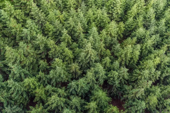
- This resource is an interactive map of the New Jersey Pinelands that displays the state and national reserve areas, wetlands, aerial imagery of the reserve, and municipal zoning.
Subjects: Earth and Space Sciences, Geography
Authors: State of New Jersey Pinelands Commission
Region: North America, USA - Northeast, United States, South Jersey, Jersey Shore, New Jersey
Languages: English
Teaching Materials
Positives
- Users can customize the map by adding or removing layers and drawing or adding text.
- There are great interactive features, including a tool to measure area and distances.
Additional Prerequisites
- Click on the "?" icon to read detailed instructions on navigating the map and utilizing key features.
Differentiation
- Science classes could use this resource and additional research to evaluate the effectiveness of biosphere reserves, like Pinelands, in protecting biodiversity.
- Geography classes could use this map to explore relationships between settlement patterns and wildlife protection.
- Cross-curricular connections could be made with civics classes by further exploring the ways governments can protect the environment using reserves and zoning laws.
- Students can use this map to explore other environmentally protected land and water in New Jersey and around the world.
- Other helpful resources specific to New Jersey include this map about the forests and this article about New Jersey's climate and climate change.
The resource presents the spatial distribution of Pinelands' wetlands in New Jersey. It is ideal for students to gain deep insight into natural resources and biodiversity and to monitor real-time land-use change and biodiversity loss. This map is recommended for teaching.
Teaching Tips
Standards
Resource Type and Format
Scientist Reviewed
This resource has been reviewed by SubjectToClimate's climate scientists and verified for scientific accuracy and up-to-date information. Our review process ensures that every resource in our library reflects the current state of climate science.
Learn about our review process →