
Glacier Repeat Photos

This resource has been reviewed by SubjectToClimate's climate scientists and verified for scientific accuracy and up-to-date information. Learn about our review process →
Provided by: National Park Service|Published on: April 27, 2021
Activity - ClassroomScientist Reviewed
6789101112
Scientist Reviewed This resource has been reviewed by SubjectToClimate's climate scientists and verified for scientific accuracy and up-to-date information. Learn about our review process →
Synopsis
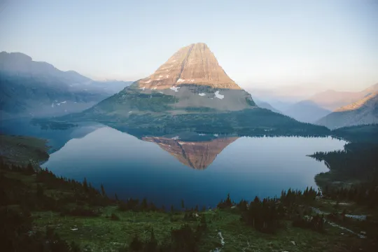
- This resource displays 12 interactive image pairs of glaciers from Glacier National Park in Montana.
- The image on the left of each pair is from some point in the early 20th century, and the image on the right is more recent.
- Viewers are able to move a slider between the images to see how the glaciers have receded over time.
Subjects: Earth and Space Sciences, Geography
Authors: National Park Service
Region: Montana
Languages: English
Teaching Materials
Extensions:
- This site includes 12 photo pairs, but there are over 60 in the collection. Click the Repeat Photography Project link at the top of the page to read more and view the entire collection.
Classroom Implementation:
- Use these photos as a phenomenon to start a Next Generation Science Standards lesson or unit on the effects of global warming or the cause of rising sea levels.
Related Resources:
- The resource Images of Change by NASA has similar slideable comparison pictures that illustrate climate change. It includes glaciers as well as images from floods, hurricanes, landslides, and droughts.
- Other resources related to glaciers include the lesson and activity Glaciers Interactive Simulation, the experiment What's Happening at the Poles?, and NASA's webpage on Ice Sheets.
This resource contains photos that describe the physical process of glaciers and compare the level of retreat from each interval until 2021. The report is evidence-based, and it is recommended for teaching.
Teaching Tips
Standards
Resource Type and Format
Scientist Reviewed
This resource has been reviewed by SubjectToClimate's climate scientists and verified for scientific accuracy and up-to-date information. Our review process ensures that every resource in our library reflects the current state of climate science.
Learn about our review process →