Active banners: 2 Visible banners: 2
Banner ID: 12 Has content: true
The Telling Room call to submit Youth Writing and Youth Art Exploring Climate Change
Banner ID: 13 Has content: true
Hi, educators! Share your student reach in our short Impact Survey 📚 Survey Link

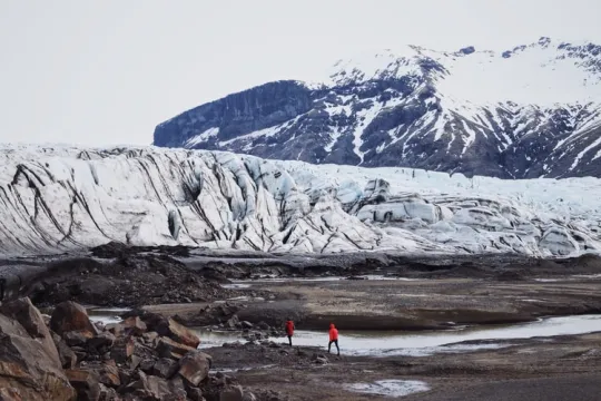
Arctic Sea Ice Minimum Extent
Provided by: NASA |Published on: April 27, 2021
Graphs/Tables
6789101112
Synopsis
- This page shows a graph of historical data (including the most recent measurements) of the minimum amount of Arctic sea ice each year.
- The page also includes the average rate of change over time and an interactive map visually showing the changes in Arctic sea ice over time.
Subjects: Earth and Space Sciences
Authors: NASA
Region: Polar Regions
Languages: English
Teaching Materials
Positives
- Graphs and text are straightforward and easy to understand.
- The time-lapse video is very powerful.
Additional Prerequisites
- The data is in square kilometers.
Differentiation
- This is a great resource to use as a hook for a lesson or unit on climate change or habitat degradation.
- This resource can also be used as an introduction to and/or an example of positive (self-reinforcing) feedback loops.
- Connections can be made to the loss of habitat for Arctic species and the effects of the change in energy balance as the albedo of the Arctic changes.
Scientist Notes
Teaching Tips
Standards
Resource Type and Format
All resources can be used for your educational purposes with proper attribution to the content provider.