
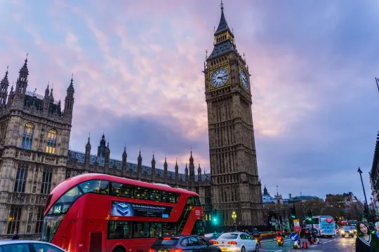
Mapping London's Air Pollution

This resource has been reviewed by SubjectToClimate's climate scientists and verified for scientific accuracy and up-to-date information. Learn about our review process →
Provided by: Google Earth|Published on: April 27, 2021
Data, Graphs, and MapsScientist Reviewed
89101112AP
Scientist Reviewed This resource has been reviewed by SubjectToClimate's climate scientists and verified for scientific accuracy and up-to-date information. Learn about our review process →
Synopsis
- This interactive resource provides students with 3D maps, data, and informational text about toxic air pollution in London.
- Students will learn about nitrogen dioxide (NO2) pollution, observe maps and data showing when and where this pollution is emitted, and read about ways of mitigating exposure to (or reducing the emissions of) toxic air pollution.
Subjects: Biology, Geography, Health
Authors: Google Earth, Environmental Defense Fund
Region: Global
Languages: English
Teaching Materials
Positives
- This resource highlights the importance of widespread data collection, which can empower communities to better understand the problems they encounter and find the most effective solutions to those problems.
Additional Prerequisites
- Students should be familiar with reading maps, Google Street View, and 3D graphs.
- Wireless internet or slow internet connections may take longer to load.
Differentiation
- Cross-curricular connections could be made with social studies classes when discussing the effects of urban planning, the number of trees in urban areas, and the amount of traffic near schools and parks in various communities.
- Biology and geography courses could explore the prevalence of asthma, COPD, or other respiratory conditions and their geographic proximity to sources of pollution.
- Other resources related to this topic include Benefits of Urban Trees, Idle-Free Schools Campaign, Tokyo's Heat Island Effect, and the ALA 2021 State of the Air Report.
The resource presents air pollution data from NO2 emissions. Suitable for students to explore and deepen their knowledge in navigating the concentration of NO2 in urban areas. Recommended for teaching.
Teaching Tips
Standards
Resource Type and Format
Scientist Reviewed
This resource has been reviewed by SubjectToClimate's climate scientists and verified for scientific accuracy and up-to-date information. Our review process ensures that every resource in our library reflects the current state of climate science.
Learn about our review process →