
Journey North Maps

This resource has been reviewed by SubjectToClimate's climate scientists and verified for scientific accuracy and up-to-date information. Learn about our review process →
Provided by: Journey North|Published on: October 18, 2022
Data, Graphs, and MapsScientist Reviewed
345678
Scientist Reviewed This resource has been reviewed by SubjectToClimate's climate scientists and verified for scientific accuracy and up-to-date information. Learn about our review process →
Synopsis
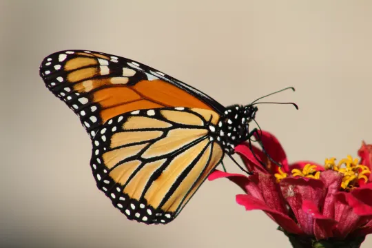
- This depository of interactive maps visually details the seasonal sightings of monarch butterflies, robins, gray whales, and bald eagles in North America.
- Students can see images of pollinator habitat, track animal sightings, report a sighting, and analyze historical data for each species.
Subjects: Biology, Geography
Authors: Journey North
Region: North America
Languages: English
Teaching Materials
Positives
- This interactive resource can be utilized in several ways to get students excited about learning.
- The maps are easy to read and work with.
Additional Prerequisites
- Students should be able to read maps and simple data sets.
Differentiation
- This resource can be used in science classes working on ecosystems, species, or migration, or in social studies classes focusing on geography and mapping.
- This resource could be used in a single lesson or checked throughout the year to monitor the migrations of one or more species.
- Try dividing students into groups to be responsible for tracking one of the species throughout the school year. They can track their movements on a paper map, record the dates, and write about why the animals migrate.
- For additional context or to extend the lesson, connect this topic with changes to animal migrations due to climate change. This video could be a great resource for students to explore.
- To enhance this connection, have students review this other interactive map from the Nature Conservancy that shows possible climate-altered migratory paths for a number of species.
The spatial distribution of birds, butterflies, and other threatened species in North America is shown in this resource. The data layers and attributes contain no scientific misconceptions, and using this resource in the classroom is advised.
Teaching Tips
Standards
Resource Type and Format
Scientist Reviewed
This resource has been reviewed by SubjectToClimate's climate scientists and verified for scientific accuracy and up-to-date information. Our review process ensures that every resource in our library reflects the current state of climate science.
Learn about our review process →