
Flooding Simulation
Provided by: The Concord Consortium|Published on: May 28, 2026|Last updated: July 16, 2026
Grades: 6-AP
Type: Data, Graphs, and Maps
Subjects: Earth and Space Sciences
Authors: The Concord Consortium
Location: Earth
This resource has been reviewed by SubjectToClimate's climate scientists and verified for scientific accuracy and up-to-date information. Learn about our review process →
This resource has been reviewed by SubjectToClimate's climate scientists and verified for scientific accuracy and up-to-date information. Learn about our review process →
Synopsis
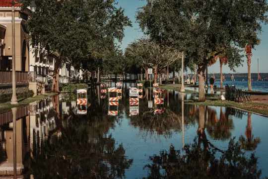
- This interactive simulation demonstrates how flooding progresses based on various factors.
- Students can manipulate the water level, storm duration, and rain amount, as well as add levees throughout the map, seeing data displayed on a graph and the flooding of various locations in an animation.
Teaching Materials
Classroom Implementation:
- Use this simulation as a hands-on exercise for students to evaluate how environmental factors influence flooding.
- Consider having students record what factors they changed and what their graphs looked like to easily compare data with other students.
Preparation:
- Familiarize yourself with the simulation and its features.
Climate Change Connections:
- Pair this interactive resource with this article to demonstrate the connection between climate change and increased flooding.
Extensions:
- Students explore adaptation measures for dealing with flooding, including nature-based solutions.
This interactive resource illustrates how floods develop across a watershed. Students can modify a number of variables, including initial water level, storm intensity, and duration. Notably, this resource shows how engineered solutions such as levees are often ineffective when tested by extreme storms likely caused by global climate change. This resource is recommended for teaching.
Teaching Tips
Standards
Resource Type and Format
Scientist Reviewed
This resource has been reviewed by SubjectToClimate's climate scientists and verified for scientific accuracy and up-to-date information. Our review process ensures that every resource in our library reflects the current state of climate science.
Learn about our review process →