
Endangered Species Critical Habitats

This resource has been reviewed by SubjectToClimate's climate scientists and verified for scientific accuracy and up-to-date information. Learn about our review process →
Provided by: Resource Watch|Published on: April 27, 2021
Data, Graphs, and MapsScientist Reviewed
6789101112
Scientist Reviewed This resource has been reviewed by SubjectToClimate's climate scientists and verified for scientific accuracy and up-to-date information. Learn about our review process →
Synopsis
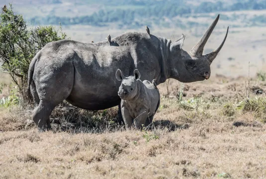
- This interactive map from Resource Watch shows sites that contain at least 95% of an endangered species population and are identified as key biodiversity areas.
- Students will learn that the Alliance for Zero Extinction created this map in the hopes of preserving specific habitats for endangered species in order to prevent the extinction of those species.
Subjects: Biology, Geography
Authors: Resource Watch
Region: Global
Languages: English
Teaching Materials
Positives
- Clicking "learn more from source" leads to an informative article on the Alliance for Zero Extinction criteria.
- Students can change the map layers to view the map in satellite, hydrography, terrain, light, or dark and turn on or off the boundaries of countries.
Prerequisites
- The link labeled "download from source" is broken.
- The "customize visualization" section is difficult to use.
- There are links for more information and other resources provided.
Differentiation & Implementation
- Social studies classes can identify sites on the map to research. Students can find out what countries or conservation groups are doing (or not doing) to protect the habitats vital to these endangered species.
- Biology classes can discuss why most species need specific habitats to thrive and what challenges most species face, given the pace of the loss of (or changes to) their habitats.
- Other resources on this topic include this TED Talk video on the 6th mass extinction, this Hot Mess video on how the pika is adapting to climate change, and this lesson plan about human impacts on the environment.
This map shows the Alliance for Zero Extinction sites. It informs our actions to conserve and protect biodiversity and endangered species against extinction. There is no contradiction in the data layers, thus, this resource is recommended for teaching.
Teaching Tips
Standards
Resource Type and Format
Scientist Reviewed
This resource has been reviewed by SubjectToClimate's climate scientists and verified for scientific accuracy and up-to-date information. Our review process ensures that every resource in our library reflects the current state of climate science.
Learn about our review process →