
Air Quality Lesson Plan
Grades: 6, 7, 8
Type: Lesson Plans
Subjects: Science, Mathematics
Authors: UCI Science Project
Location: North America, North America > United States, North America > United States > California
This resource has been reviewed by SubjectToClimate's climate scientists and verified for scientific accuracy and up-to-date information. Learn about our review process →
This resource has been reviewed by SubjectToClimate's climate scientists and verified for scientific accuracy and up-to-date information. Learn about our review process →
Synopsis
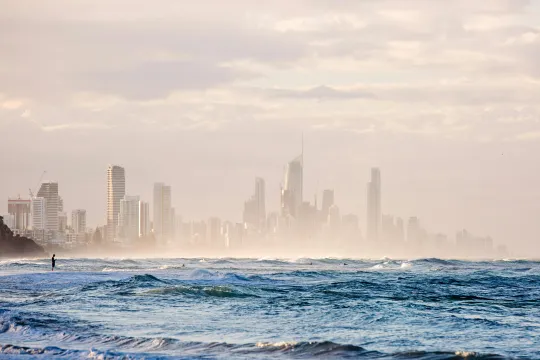
- In this lesson, students will use maps, graphs, and data from California to investigate the connection between air quality, wildfires, and location.
- Students will develop questions about the causes of poor air quality, use fire and smoke maps to determine the impact of wildfires on air quality, analyze the increase in droughts and wildfires due to anthropogenic climate change, and analyze box plots to compare the air quality in different communities.
Teaching Materials
Positives
- Students do a lot of collaborative thinking in this lesson, helping them develop their ideas and questions.
- The option for a final project is very open-ended, making it adaptable for students of all learning styles and needs.
Additional Prerequisites
- The CaPMSE Storyline link has been deleted.
- Some of the activities require the use of student devices. Teachers can achieve some of these activities with sticky notes or journals if students do not have devices.
- The link for "what pollution is" on Day 2 is broken.
Differentiation
- After discussing how air pollution impacts communities differently, teachers can segue into the topic of environmental racism and practices like redlining.
- Teachers can make more math connections by generating specific questions for students to answer about the graphs and demonstrate their graph analysis skills.
- In health class, students can research the impacts of air pollution on children's health and create infographics to demonstrate their learning.
This lesson tasks students with analyzing the geographic distribution of air quality. All text is clear and thoughtfully organized. The worksheet guides students through making claims, providing supporting evidence, and then developing the reasoning to support their claims. This resource powerfully addresses the links between wildfires, air quality, climate change, and social justice. This resource is recommended for teaching.
Teaching Tips
Standards
Resource Type and Format
Scientist Reviewed
This resource has been reviewed by SubjectToClimate's climate scientists and verified for scientific accuracy and up-to-date information. Our review process ensures that every resource in our library reflects the current state of climate science.
Learn about our review process →